Research on Morskie Oko (Eye of the Sea) in the Tatra National Park is conducted by the Institute of Spatial Management and Geography of the University of Warmia and Mazury in Olsztyn coordinated by the Underwater Scientific Research Foundation. The aim of the project is to monitor the succession or regression of the plants found.
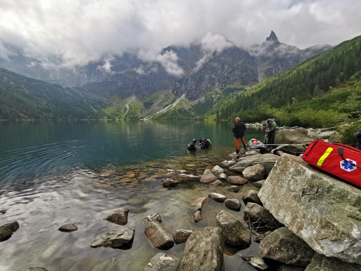
The work at Morskie Oko – one of the most famous and recognizable mountain lakes in the Tatra National Park in Poland – consisted of checking the tourist pressure on this high-mountain pond (i.e. the impact of hundreds of thousands of tourists visiting this lake every year – due to the amazing scenery and relatively easy access).
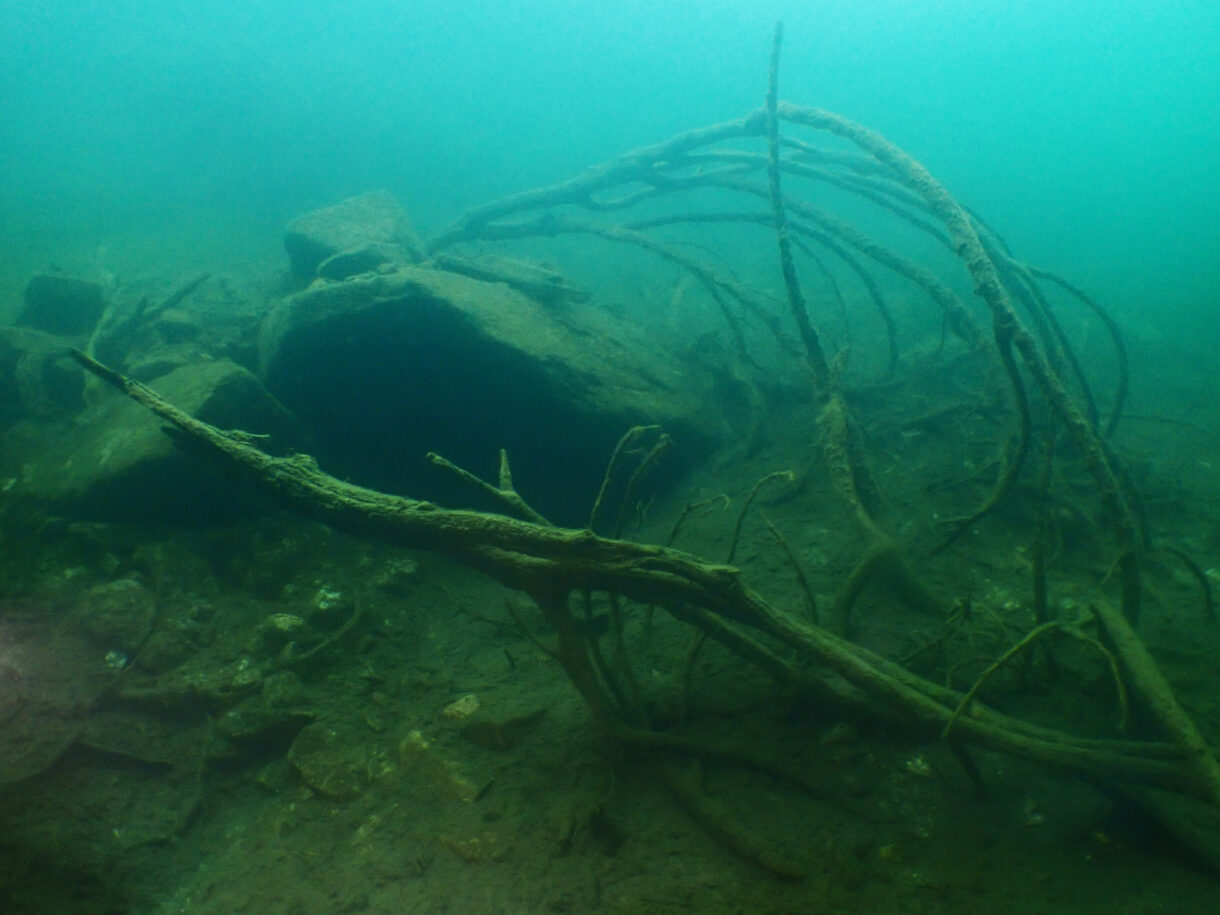
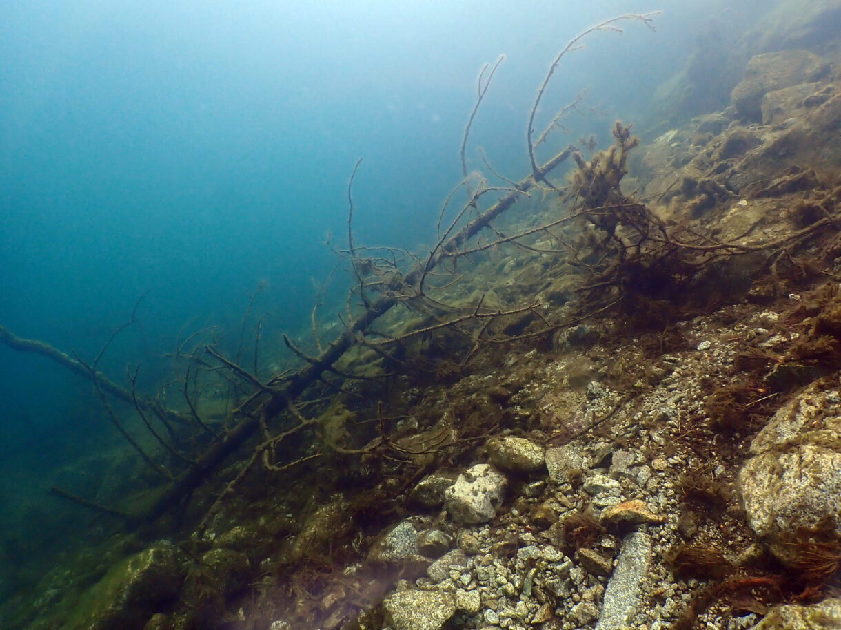
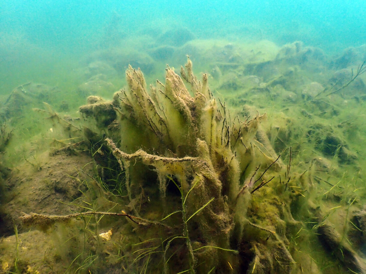
The appearance of submerged vegetation (hydro-macrophytes) may be an indicator of anthropopressure in this type of oligotrophic lake. The actual vegetation maps, in this case, Morskie Oko were made earlier.
First works
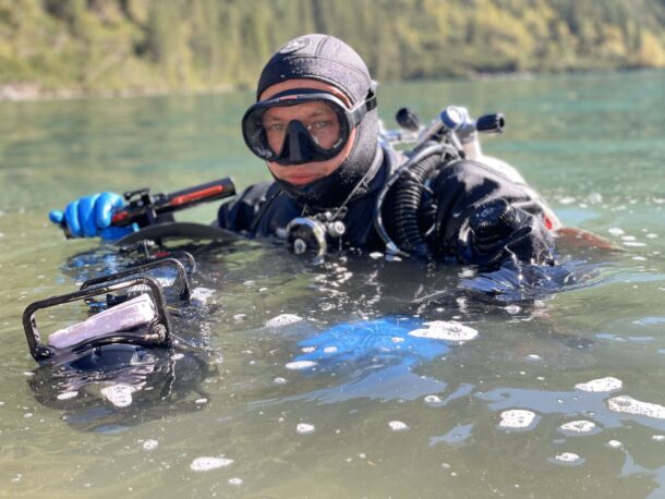
In 2019 the Underwater Scientific Research Foundation began research works by installing underwater monitoring plots – steel bars marking the place for controlling the bottom surface with submerged vegetation.
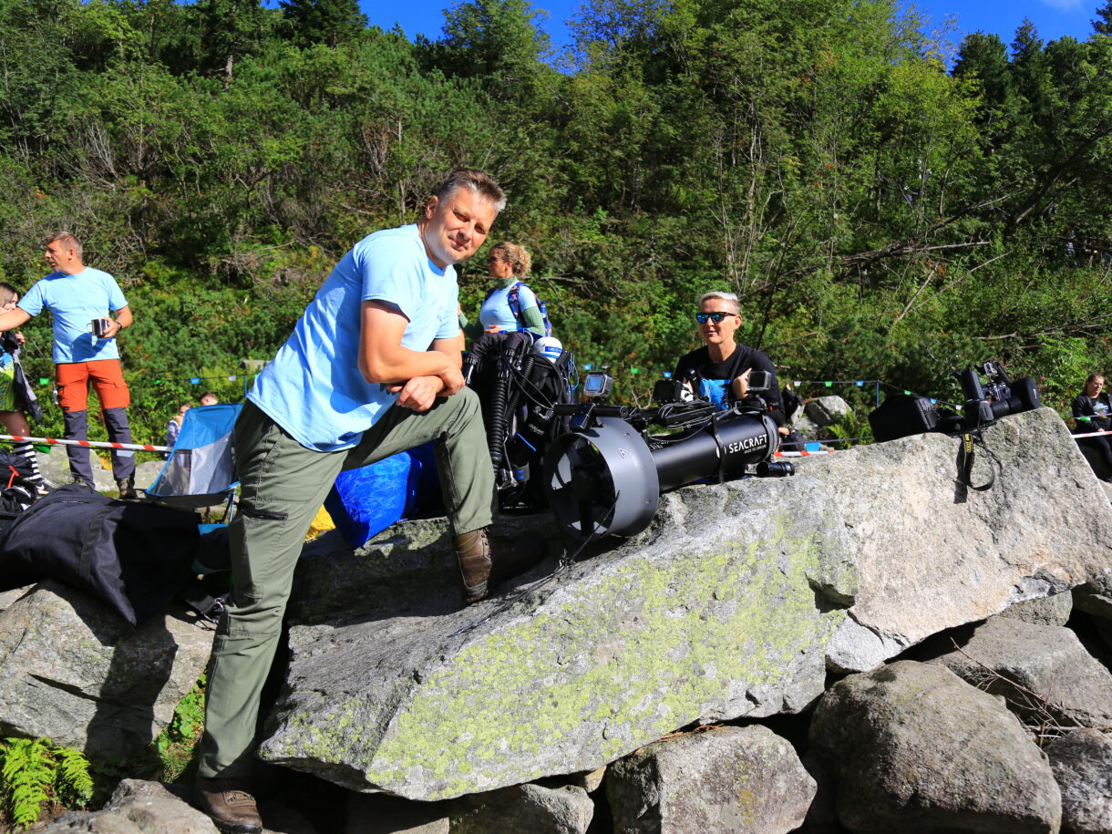
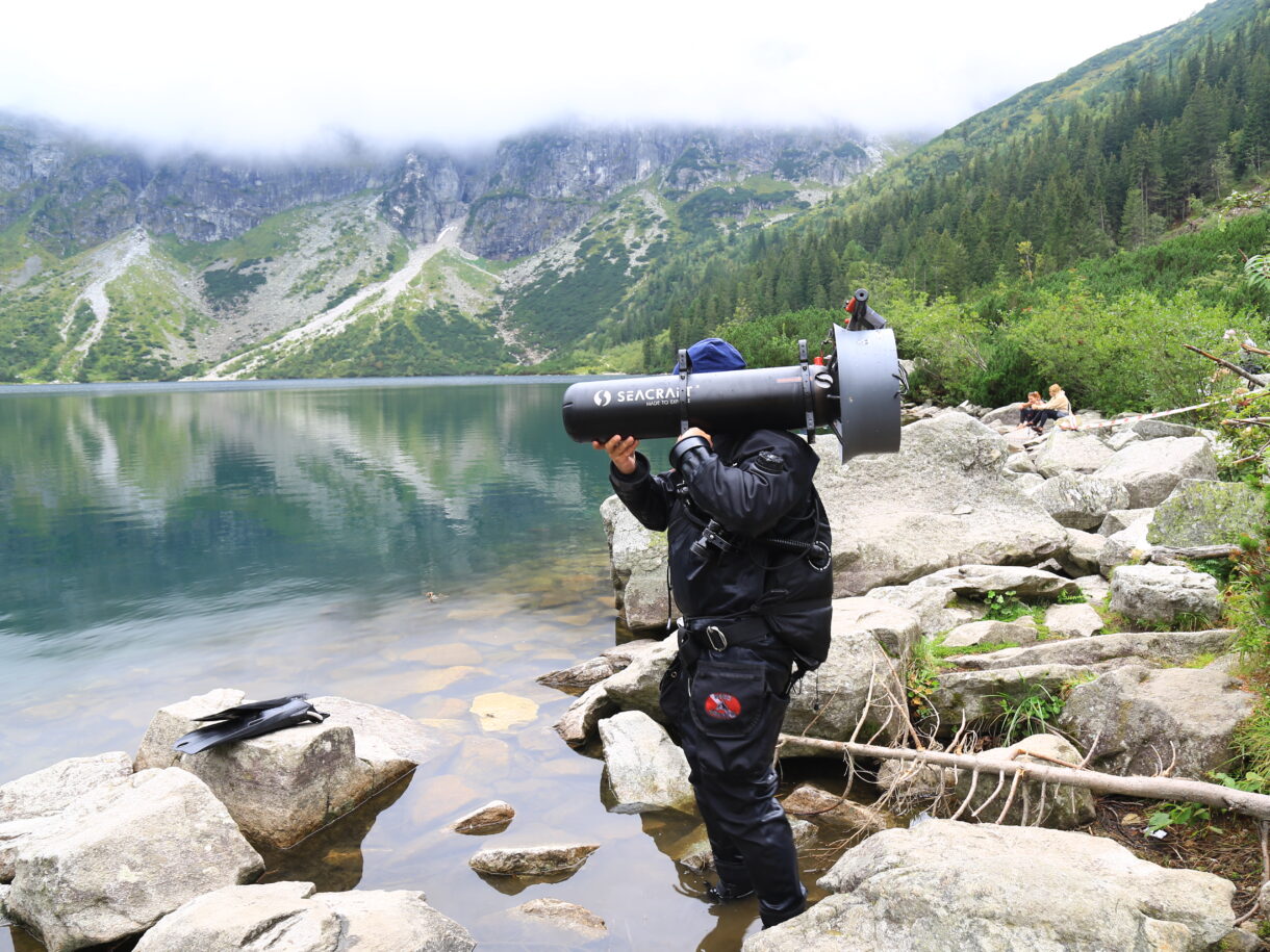
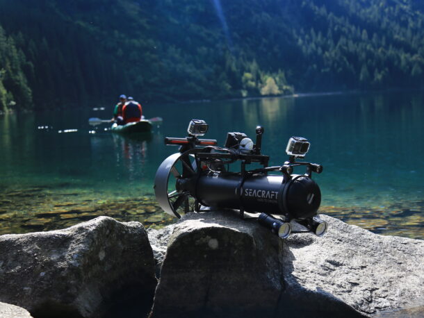
Using Seacraft Future 1000 allows them to efficiently move between the designated points. The ENC3 navigation consoles were used to reach previously defined points, where monitoring plots were planned.
As a result, all monitoring stations can be reached underwater without surfacing and without the need for additional assistance from the boat crew or disturbing the aesthetics of the lake landscape with floats.
Research continued
In September 2023 The research team came back to Morskie Oko to continue their research work and collect more data and information from the studied area that will help understand their research.
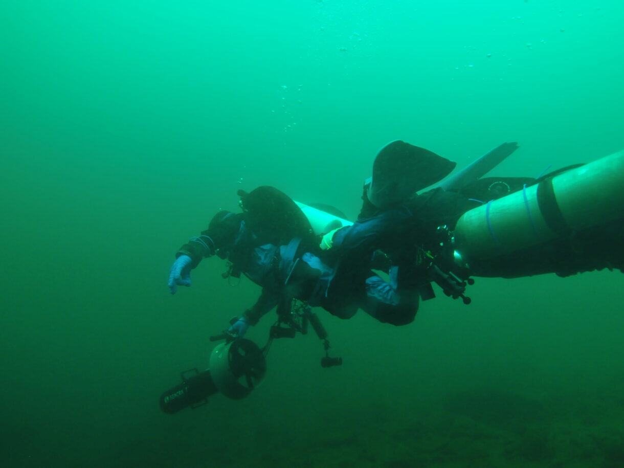
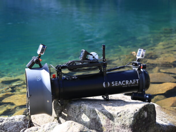
Again, the key support for the team was using the Seacraft scooter Future 1000 and ENC3-PRO navigation platform. It allowed for the establishment of two transects for monitoring macrophytes in Morskie Oko, based on geographic coordinates entered into the navigation console in dive plan mode.
The scooter was used to move efficiently between points and to tow three divers to research points.
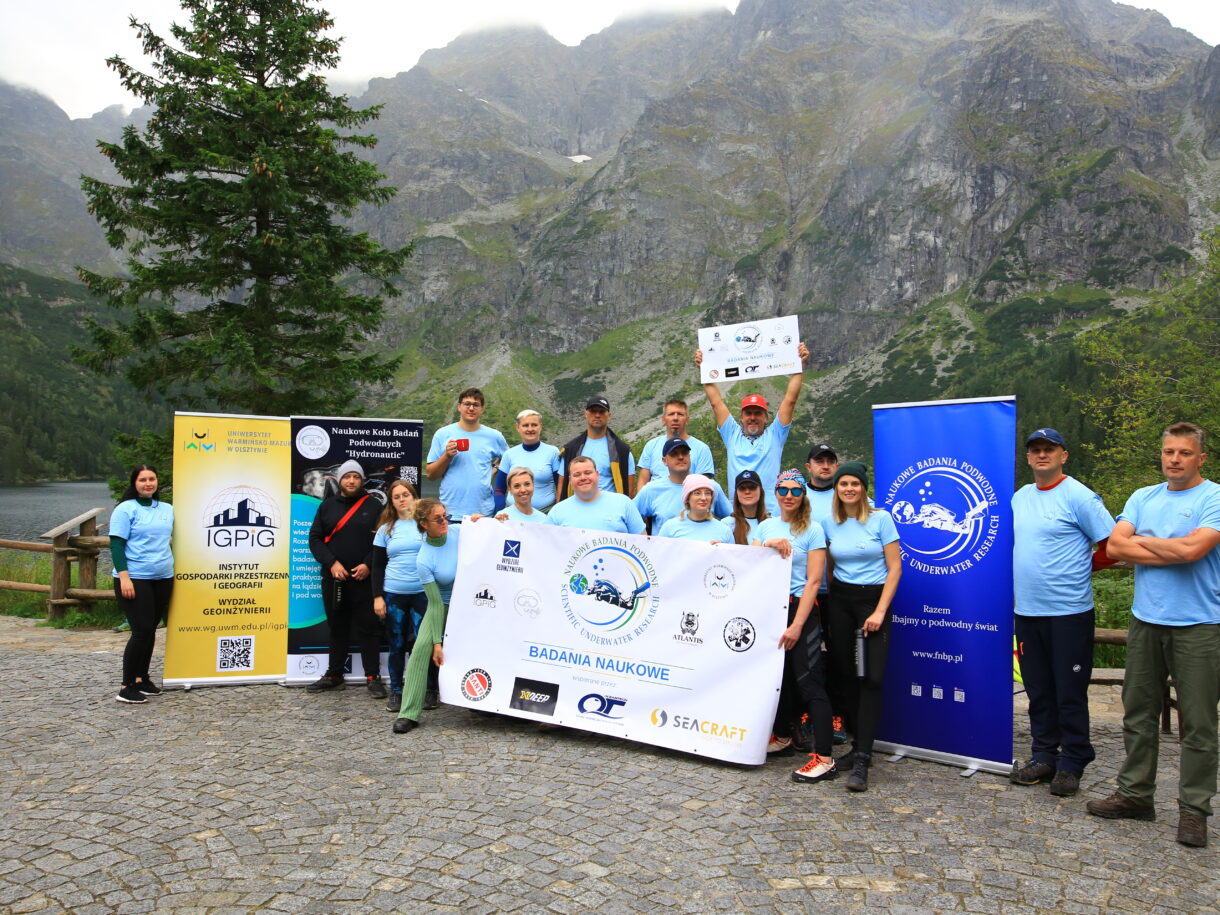
The research in Morskie Oko Lake in the Tatra National Park has been continued in 2024. During 2 days of research, the team supported by voluntary divers and other companies managed to conduct a comprehensive inventory of hydro macrophytes growing at the bottom of Morskie Oko.
Again one of the key tools was an ENC3-Pro navigation mounted on Seacraft Future that helped with data collection which was later passed to Tatra National Park.


highlights