Navigation console Plan
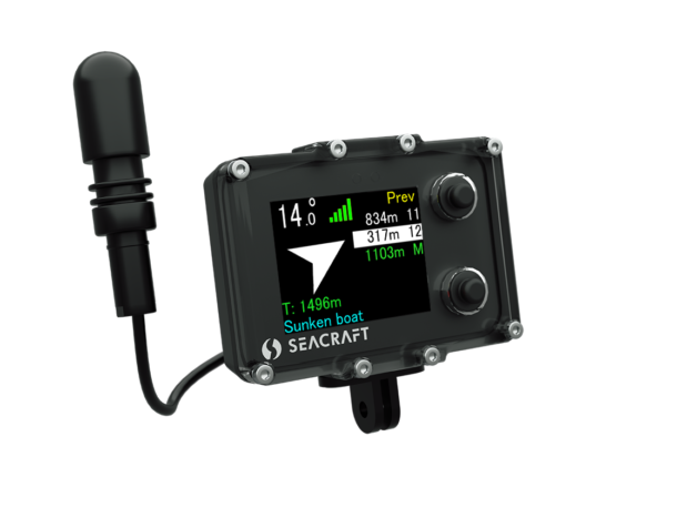
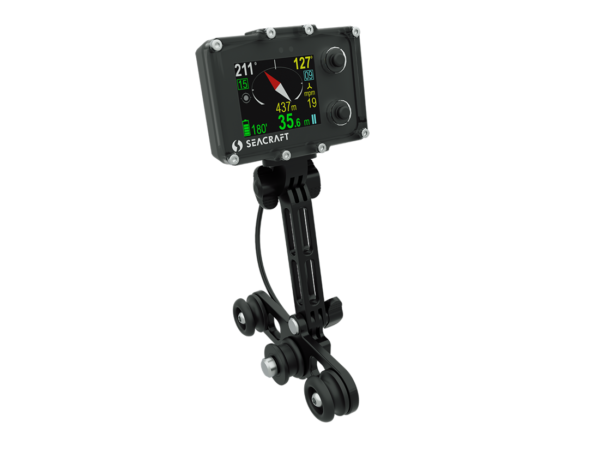
ENC is a shortcut for Electronic Navigation Console. It is the first such powerful navigational aid in existence – it allows to set a destination underwater, navigate to it and return to the entry point.
You can prepare navigational data at home – or decide at the diving spot where you would like to navigate. Route can be planned as multi-point track in visual way, in the azimuth-distance based way or as absolute GPS locations of particular point.
Navigation console DIVE
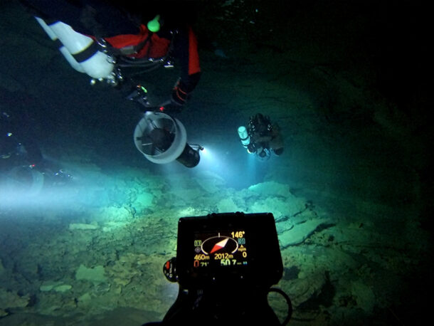
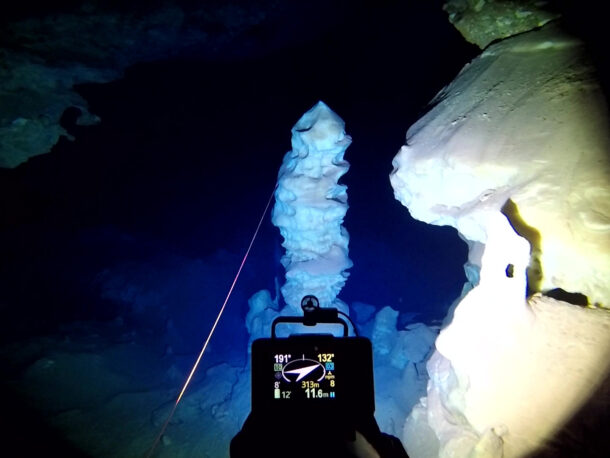
The ENC electronic navigation console is used for topographic and vertical orientation during the dive. ENC navigation system operates using the dead-reckoning principle. It means that the underwater speed and direction readings are used in order to calculate the current position.
Seacraft navigation system ENC is a fully modular system with multiple configuration options with the basic version of ENC3 with an internal GPS module and ENC3-PRO with enhanced sensor capabilities and external GPS connection ability that provides a capability of position recalibration, based on a known satellite positioning system.
Navigation console Return and plot
During the dive ENC console will allow you to keep all crucial diving parameters in your field of vision – as your current depth, penetration, dive time, speed and others.
You can return at any moment to the entry point of the dive, as ENC tracks your position underwater. Data collected by ENC can be later plotted on the map, along with collected GPS data. Some expert users can also use ENC for precise cave mapping – especially when exploration is done in big depth, where regular mapping methods are very hard to use.
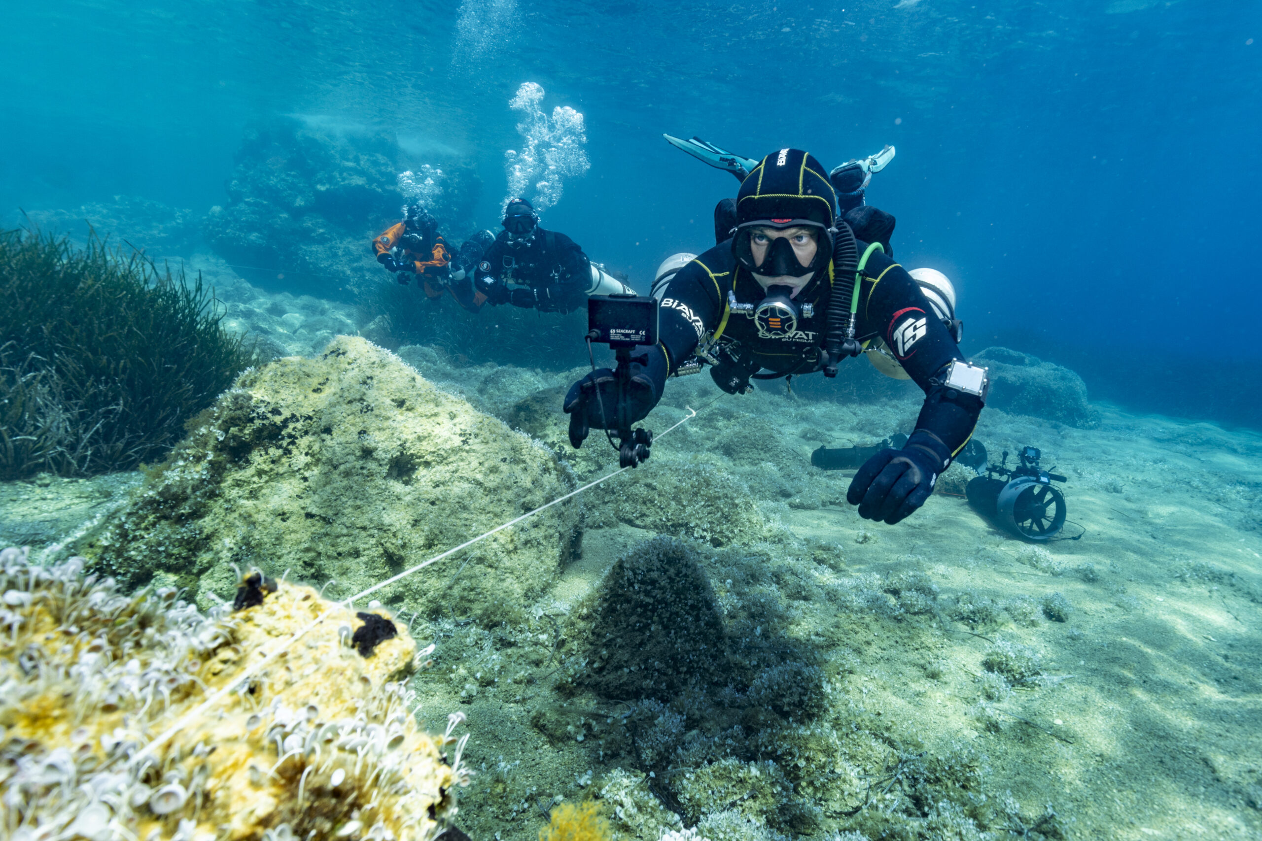
Navigation console without the dpv
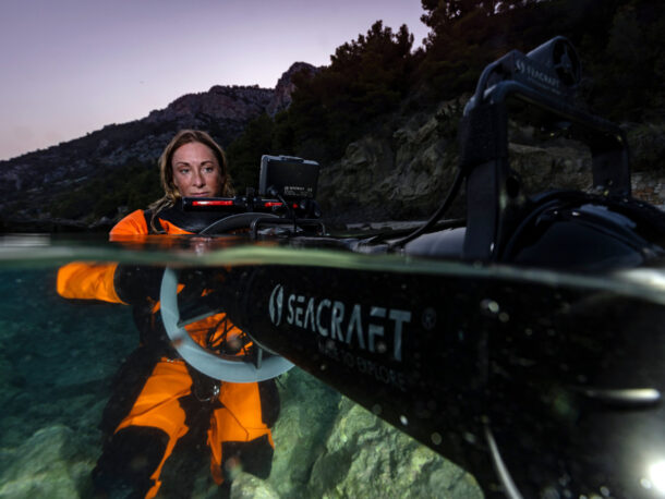
Depended of needs all Seacraft’s navigation can be used both assembled on the scooter and without a scooter and with the surveyor tool that allows for measurement of tensioned lines, which are often used as reference – for example, for cave diving survey, or archeological survey.
Navigation console CHOOSE YOUR NAVIGATION
ELECTRONIC NAVIGATION CONSOLEcomparison of parameters
* depending on usage
** log incompatible with ENC3
*** with GPS buoy, 300m jusn ENC console without GPS buoy

